File:Oak Ridge National Laboratory Aerial View.jpg
Vai alla navigazione
Vai alla ricerca
Dimensioni di questa anteprima: 800 × 360 pixel. Altre risoluzioni: 320 × 144 pixel | 640 × 288 pixel | 1 653 × 743 pixel.
File originale (1 653 × 743 pixel, dimensione del file: 419 KB, tipo MIME: image/jpeg)
| Questo file e la sua pagina di descrizione (discussione · modifica) si trovano su Wikimedia Commons (?) |
Dettagli
| Descrizione |
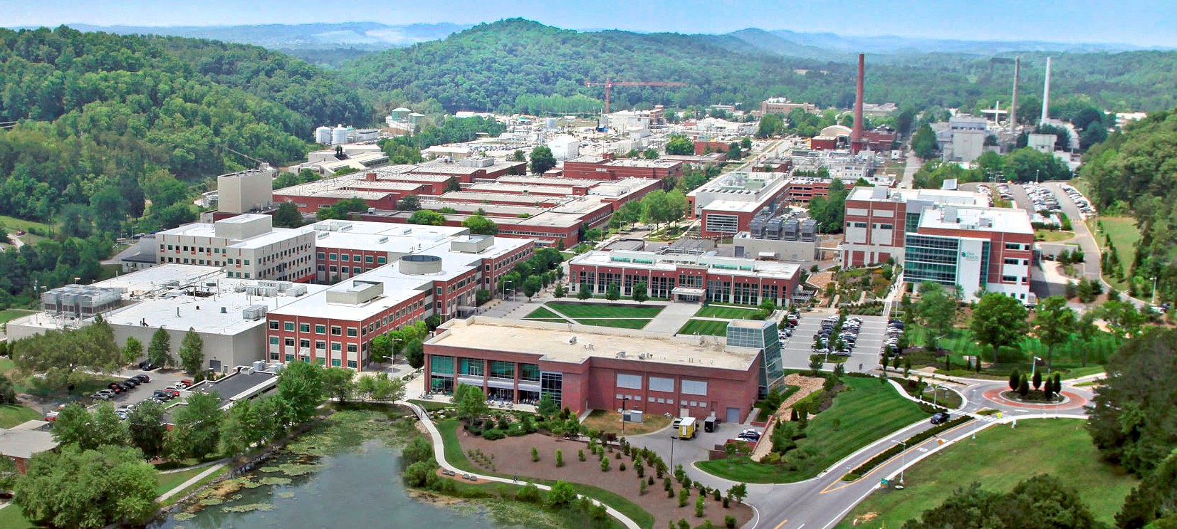
English: An aerial view of the Oak Ridge National Laboratory campus (taken at unknown date) |
|||
| Data | ||||
| Fonte | http://energy.gov/orem/cleanup-sites/oak-ridge-national-laboratory | |||
| Autore | Oak Ridge Office of Environmental Management, U.S. Department of Energy | |||
| Licenza (Riusare questo file) |
|
| Luogo dello scatto | | Posizione di questa e altre immagini su: OpenStreetMap |
|---|
Licenza
| This image is a work of a United States Department of Energy (or predecessor organization) employee, taken or made as part of that person's official duties. As a work of the U.S. federal government, the image is in the public domain.
Please note that national laboratories operate under varying licences and some are not free. Check the site policies of any national lab before crediting it with this tag.
|

|
Cronologia del file
Fare clic su un gruppo data/ora per vedere il file come si presentava nel momento indicato.
| Data/Ora | Miniatura | Dimensioni | Utente | Commento | |
|---|---|---|---|---|---|
| attuale | 14:38, 5 ott 2020 | | 1 653 × 743 (419 KB) | Remitamine | Higher resolution version |
| 14:23, 27 mag 2014 |  | 1 340 × 602 (752 KB) | Krtek2125 | User created page with UploadWizard |
Pagine che usano questo file
La seguente pagina usa questo file:
Utilizzo globale del file
Anche i seguenti wiki usano questo file:
- Usato nelle seguenti pagine di ar.wikipedia.org:
- Usato nelle seguenti pagine di arz.wikipedia.org:
- Usato nelle seguenti pagine di ca.wikipedia.org:
- Usato nelle seguenti pagine di cs.wikipedia.org:
- Usato nelle seguenti pagine di en.wikipedia.org:
- Usato nelle seguenti pagine di en.wikivoyage.org:
- Usato nelle seguenti pagine di es.wikipedia.org:
- Usato nelle seguenti pagine di fr.wikipedia.org:
- Usato nelle seguenti pagine di ka.wikipedia.org:
- Usato nelle seguenti pagine di ko.wikipedia.org:
- Usato nelle seguenti pagine di lv.wikipedia.org:
- Usato nelle seguenti pagine di pt.wikipedia.org:
- Usato nelle seguenti pagine di ru.wikipedia.org:
- Usato nelle seguenti pagine di uk.wikipedia.org:
- Usato nelle seguenti pagine di ur.wikipedia.org:
- Usato nelle seguenti pagine di vi.wikipedia.org:
- Usato nelle seguenti pagine di www.wikidata.org: