File:Toll Texas 49 new.svg

File originale (file in formato SVG, dimensioni nominali 601 × 601 pixel, dimensione del file: 11 KB)
| Questo file e la sua pagina di descrizione (discussione · modifica) si trovano su Wikimedia Commons (?) |
Dettagli
| Descrizione |
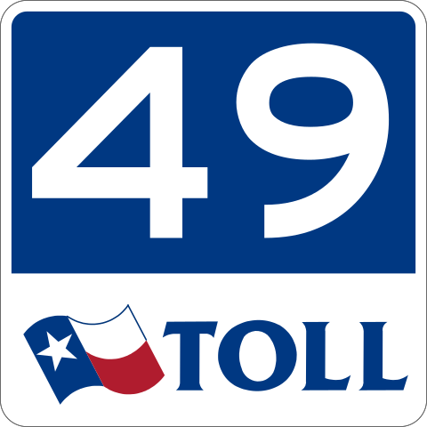
English: Based on File:Toll Texas 49.svg.
TxDOT has changed the color scheme of toll shields to white-on-blue. See page 6 of ftp://ftp.dot.state.tx.us/pub/txdot-info/library/pubs/gov/sign/6_toll.pdf |
| Data | |
| Fonte | Opera propria |
| Autore | Gridlock Joe |
24 in by 24 in (600 mm by 600 mm) Texas State Highway shield (toll), made to the specifications of the sign detail (sign M90-1). Uses the Roadgeek 2005 fonts. (United States law does not permit the copyrighting of typeface designs, and the fonts are meant to be copies of a U.S. Government-produced work anyway.) Colors are from [1] (Pantone Red 187 and Blue 294), converted to RGB by [2]. The outside border has a width of 1 (1/16 in) and a color of black so it shows up; in reality, signs have no outside border. The width of the upper right side of the flag is not specified; I chose 2 (1/8 in).
Licenza
| This file is in the public domain because it comes from the Texas Manual on Uniform Traffic Control Devices or the Standard Highway Sign Designs For Texas, sign number M90-1T.
Any traffic control device design or application provision contained in this Manual shall be considered to be in the public domain. Traffic control devices contained in this Manual shall not be protected by a patent, trademark, or copyright, except for the Interstate Shield and any items owned by FHWA or the State of Texas. Texas Manual on Uniform Traffic Control Devices, Revision 2, October 2014, Introduction, Page I-1. [3]
To the extent that they are incorporated by specific reference, the latest editions of the following publications, or those editions specifically noted, shall be a part of this Manual: "Standard Highway Sign Designs for Texas" book (TxDOT); and "Color Specifications for Retroreflective Sign and Pavement Marking Materials" (appendix to subpart F of Part 655 of Title 23 of the Code of Federal Regulations). Texas Manual on Uniform Traffic Control Devices, Revision 2, October 2014, Part 1, Section 1A.11 (Relation to Other Publications). [4]
|
Cronologia del file
Fare clic su un gruppo data/ora per vedere il file come si presentava nel momento indicato.
| Data/Ora | Miniatura | Dimensioni | Utente | Commento | |
|---|---|---|---|---|---|
| attuale | 11:07, 17 nov 2020 | | 601 × 601 (11 KB) | Fredddie | redraw |
| 01:09, 15 ott 2011 |  | 385 × 385 (15 KB) | Gridlock Joe |
Pagine che usano questo file
La seguente pagina usa questo file:
Utilizzo globale del file
Anche i seguenti wiki usano questo file:
- Usato nelle seguenti pagine di en.wikipedia.org:
- Smith County, Texas
- Tyler, Texas
- Ark-La-Tex
- Texas State Highway 31
- Texas State Highway 155
- Texas State Highway Loop 49
- Three-level diamond interchange
- Interstate 20 in Texas
- U.S. Route 69 in Texas
- List of toll roads in the United States
- Wikipedia:WikiProject U.S. Roads/Shields task force/Database/toll roads
- Toll roads in Texas
- Tyler metropolitan area
- List of Farm to Market Roads in Texas (2400–2499)
- User:Alexlatham96/List of state highway loops and spurs in Texas
- Usato nelle seguenti pagine di fr.wikipedia.org:
- Usato nelle seguenti pagine di simple.wikipedia.org:
- Usato nelle seguenti pagine di tl.wikipedia.org:
- Usato nelle seguenti pagine di www.wikidata.org: